Explore & Share
The World of Drone Captured Maps
Drone Map Market connects creators and buyers, making it easy to explore and purchase high-quality drone maps for various industries.
START NOW!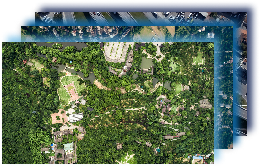

DRONE MAP MARKET
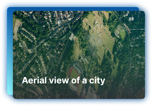
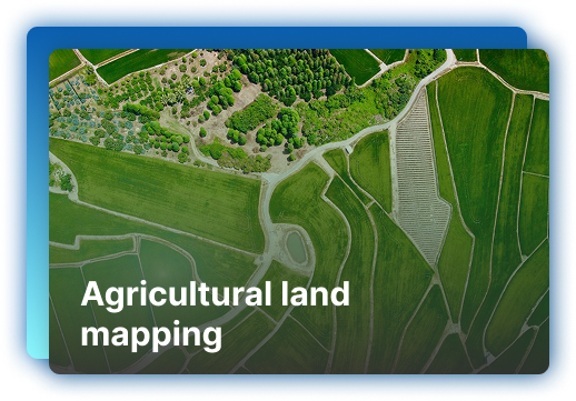
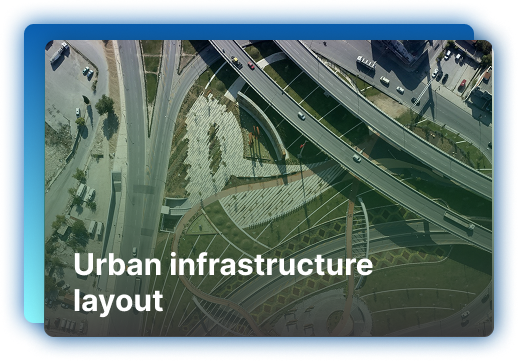
Drone Map Market is a marketplace where drone map creators can easily upload and sell high-resolution, geo-referenced maps, while buyers can explore, connect with sellers, and purchase maps tailored to their needs. Our platform makes it simple for sellers to showcase their maps, while buyers gain access to diverse geospatial maps for various industries. We connect creators and buyers, empowering both to expand and discover the world of drone-captured maps.
Become a Seller
Join The Marketplace, Its Simple
Register for free:
Create an account and enjoy one month of free access to showcase your drone-captured maps to a
global audience.
Post your maps and attract buyers:
Easily upload your high-resolution maps, set your prices, and manage listings.
Grow your business with flexible plans:
Choose a subscription plan that suits your needs, renew and manage easily, and enjoy seamless
payments.
- No cost to join and try out the platform for the first month.
- Sellers can upload and manage a limited number of maps.
- Can edit and manage map listings.
- Limited ability to contact buyers.

- Upload Up to 20 Maps: Ability to list more maps on the platform.
- Access to dedicated support for any issues.
- Contact buyers without restrictions.
- Seamless payment system for transactions.
- See which maps are getting the most attention and optimize accordingly.
- Upload Unlimited Maps: No cap on the number of maps you can list.
- Advanced Map Management Tools: Full control over map categories, pricing, metadata, and map formats.
- Featured placement for your maps to attract more buyers.
- Priority technical support and personalized assistance for your account and listings.
- Option to bulk upload maps at a discounted rate.
- Unlimited Map Uploads: Upload as many maps as you want to the platform.
- Full access to all editing, metadata options, and customizations for your listings.
- Your maps are featured more prominently on the platform to increase visibility.
- Ability to set custom pricing models, offer discounts, and run promotions for your maps.
- Access to promotional tools like email campaigns, and special features to help you market your maps.
- Detailed monthly reports on sales performance, traffic sources.
Limited-time discount for early adopters
.png)
.png)
.png)